

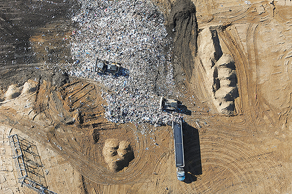
DFI Drone Flights over Mid Shore II Regional Landfill in Caroline County
The DFI Drone Program, working in close partnership with the Survey Department, successfully completed its annual aerial surveying project at the Mid Shore II Regional Landfill. This initiative plays a vital role in delivering high-quality geospatial data that supports both current operational requirements and long-term planning efforts for the facility.
This project highlights DFI’s ongoing commitment to integrating advanced technology with traditional surveying methods. By combining drone-based imaging with professional surveying expertise, the team continues to produce dependable, accurate, and actionable information that supports responsible site management and cross-disciplinary collaboration.


